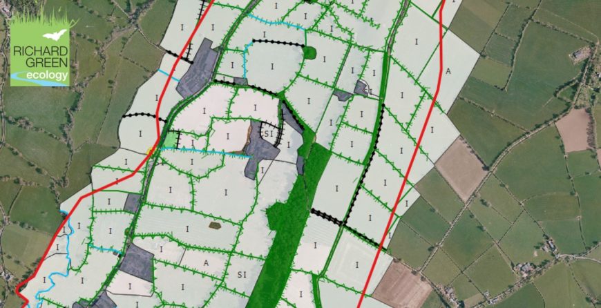
Due to popular demand, we are pleased to announce that we will be running our Introduction to QGIS for Ecological Consultants two-day training course for a second time this year, on the 30 & 31 October 2018.
The course will provide participants with the necessary tools to produce a professional looking Phase 1 Habitat map using QGIS®, an open-source freely available software. This powerful Geographic Information System (GIS) program allows users to communicate and manipulate a wide range of typical ecological survey data collected by ecologists for use in professional looking reports. This will include navigating the QGIS® environment and understanding terminology; importing and displaying data from multiple sources; Phase 1 Habitat mapping and symbology; creating labels; advanced editing tools; use of attribute tables; print composer; introduction to plugins; bookmarks and creating buffers.
Places are limited so please book early to avoid disappointment.
Please watch our video below:

